1804 Denmark Original Map, Copperplate Engraving With Hand Coloring
Check the listing for details.


USD 74.36
This is an Original Antique Map from the year stated in title. All of our maps are stored in Archival Sleeves and Boxes. Please examine images, as this will be the exact map that you will receive.
| Location | Galway US |
| Shipping | Free shipping (check listing for details) |
| Seller |
ephemeravault
100.0% positive · 2025 feedback
|
| Listing | FixedPrice · Active |
| Start time | 2025-05-10T00:07:39.000Z |
1804 Denmark Original Map, Copperplate Engraving With Hand Coloring Specs
| Cartographer/Publisher | John Cooke |
| Country/Region | Denmark |
| Date Range | 1800-1899 |
| Original/Reproduction | Antique Original |
| Printing Technique | Copper Plate |
| Year | 1804 |
Listing details
This is an antique original map of Denmark from 1804, created using a copper plate printing technique by cartographer/publisher John Cooke. The map features hand coloring and belongs to the Europe maps category.DenmarkEngraved by John Cooke • Publ. Jan. 1, 1801 for John Cooke, & J. Harris, Bookseller, corner of St. Pauls Church Yard.(paper has watermark of 1804)approx. 6.5 x 9 inchescopper engraving with hand colorVery Good: very light foxing; half-inch unclosed tear to right margin, not affecting image area
Related items

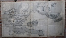
EVROPA Africa Pars OLD WORLD MAP PICTURE MATTED FRAMED ART Print 11.5" By 13"

1913 ORIGINAL ANTIQUE CITY MAP OF SANTANDER / CANTABRIA / SPAIN

TREVISO. Vintage town city map plan. Italy 1924 old antique chart

1938 WWII Central Europe Map Germany Ceded Sudetenland Poland Czechslovakia
Antique Print-SEA CHART-SCOTLAND-KINTYRE-FIRTH OF CLYDE-Office Admirality-1924
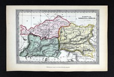
1847 Archer Map Ancient Greece Thessaly Thessalie Epirus Olympus Corcyra Pelas

Barcelona Spain 3D City Map City Poster Print
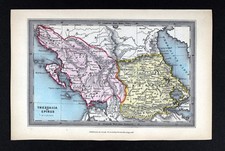
1847 Archer Map Ancient Rhaetia Vindelicia Noricum Austria Switzerland Bavaria

1911 ANTIQUE MAP OF METZ LORRAINE LOTHRINGEN / FRANCE GERMANY

Original Hand Colored Map by J. Blaeu printed in 1662 Zeelandia Insula Danicarum

Vintage German Empire Map And Western Europe

Antique Map Rome 1693 Giacomo Ameti Large Color Engraved 17th Century RARE