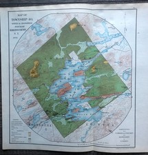
1896 Ogle Cass County Michigan Plat Map Atlas Cassopolis Dowagiac Edwardsburg ++
Check the listing for details.


| Location | Berrien Springs US |
| Shipping | Free shipping (check listing for details) |
| Seller |
thevintagemitten
100.0% positive · 1719 feedback
|
| Listing | FixedPrice · Active |
| Start time | 2025-10-01T11:54:48.000Z |
| Type | County Map |
| Year | 1896 |
| Date Range | 1800-1899 |
| US State | Michigan |
| Format | Atlas Map |
| Original/Reproduction | Antique Original |
| City | South Haven |
| Country/Region | United States of America |
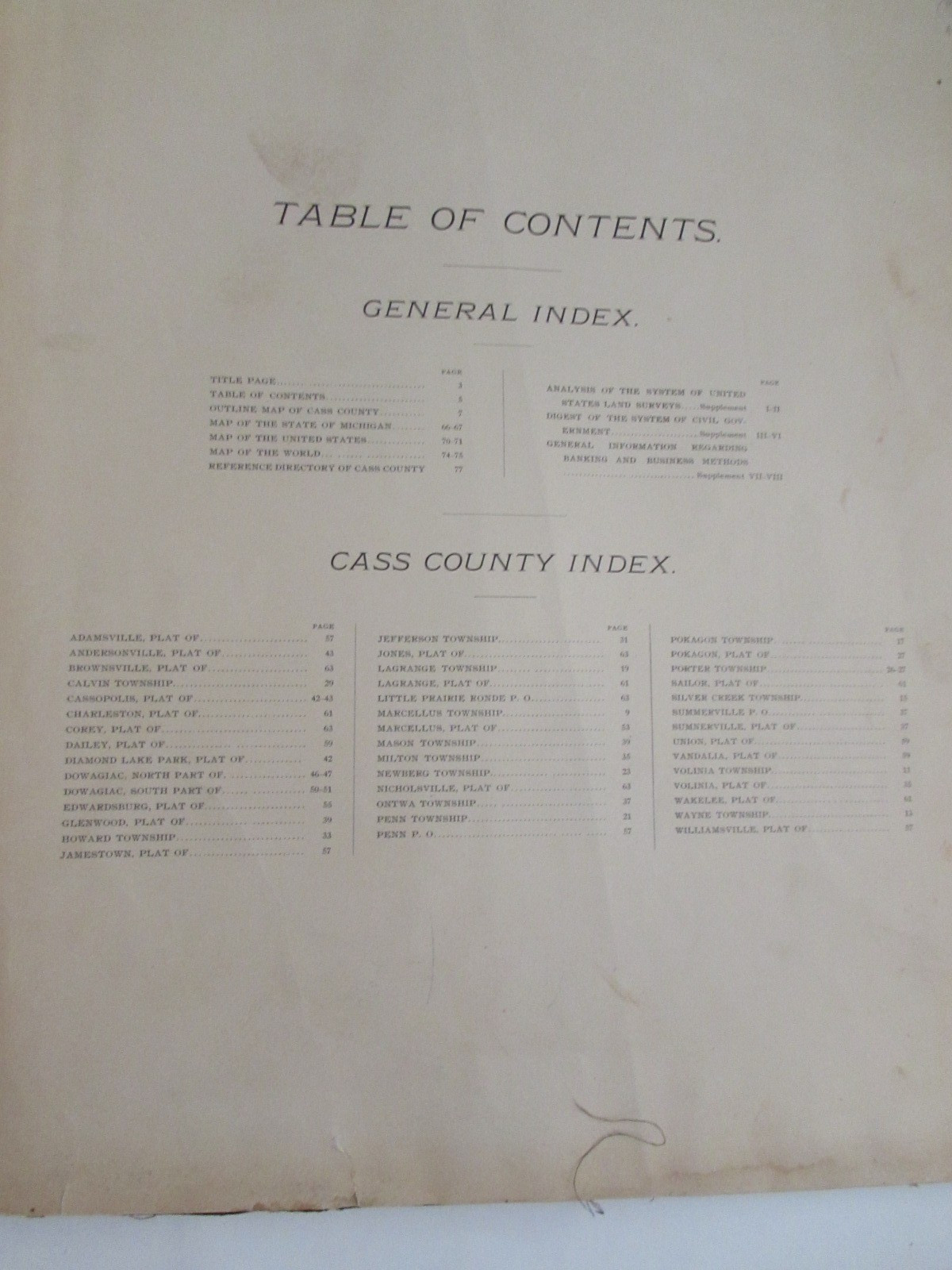
This item includes an 1896 Plat Map Atlas for Cass County, Michigan by George Ogle & Co. It measures 18" x 15-1/2". All the maps are present for towns/areas listed on the Index page. There is a Michigan map and a US map, a list of country residents, and some other miscellaneous pages. Some of those are detached. The front cover is detached. Chipping to the edges of the pages, generally good
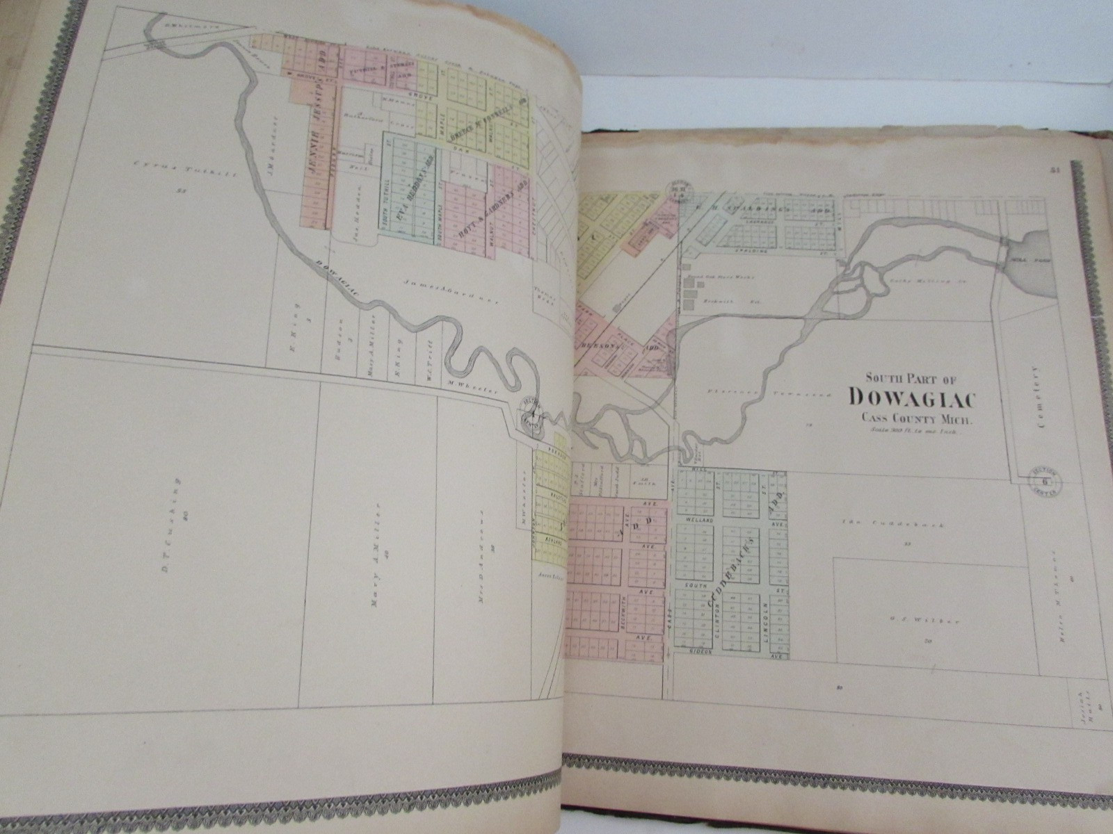
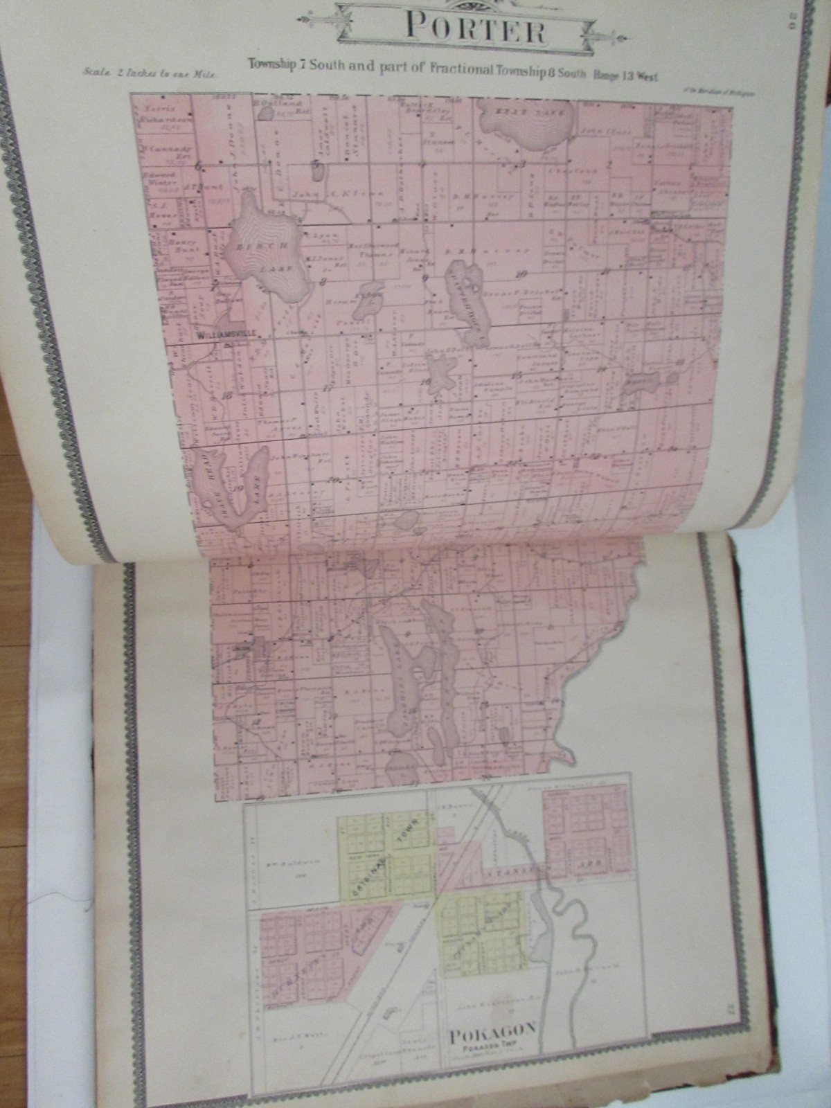
color to the map pages. Edwardsburg, Cassopolis, Dowagiac, Mason Twp, Summerville, Vandalia, Union, Diamond Lake Park, Jones, LaGrange, Pokagon, etc. The title page is in pieces - a copy of it was in the atlas. Age wear.Combined shipping is available - it may not be possible to reduce shipping by a large amount due to
size and fragility. BIN's extra shipping will be refunded upon packaging.Please examine the listing photos as they are part of the description. Thanks!****************Combined Shipping Available.Payment is due within 24 hours.Shipping of paper items such as postcards and photos require cardboard inserts - they then become classified as a package by USPS and cost a bit more to ship. First Class Shipping starts at $4.25 and goes up by weight/size.We try our hardest to provide an accurate description, if we do miss something, please contact us prior to leaving feedback and we will make it right.*****************