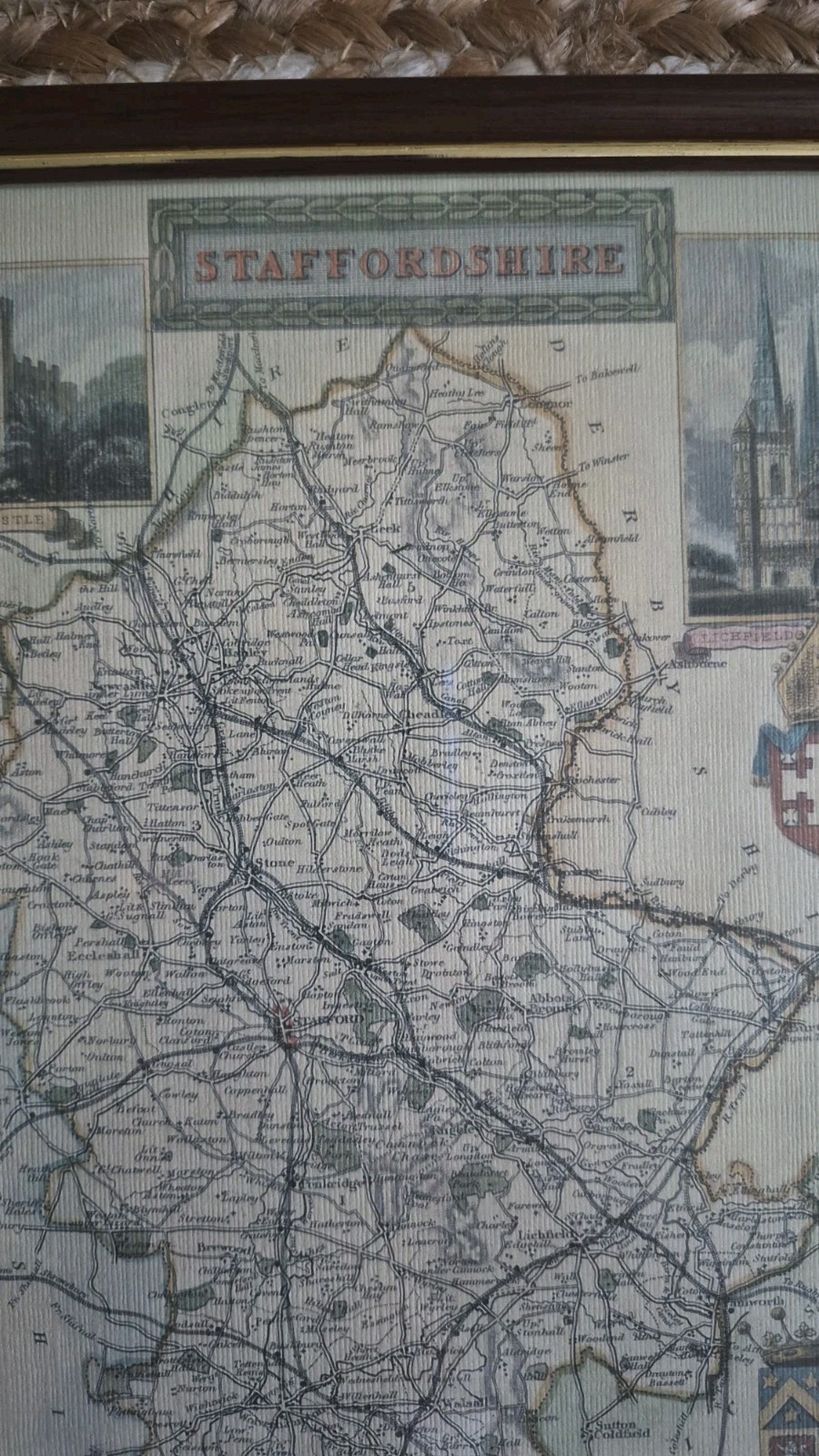
Staffordshire Map Framed Print by Moule Design | Antique Style England
This Staffordshire map framed print by Moule Design features an antique-style depiction of England. The item is listed in the Antiques category. Condition is not specified, so check the listing for details on wear, frame marks, or any imperfections. Free shipping is included with purchase; check the listing for shipping carrier, handling time, and delivery estimates. If you need specifics such as print size, frame materials, or mounting details, check the listing for details.


| Location | Walsall GB |
| Shipping | Free shipping (check listing for details) |
| Seller |
thevelvetedit_2008
100.0% positive · 1937 feedback
|
| Listing | FixedPrice · Active |
| Start time | 2026-03-17T12:52:13.000Z |
| Date Range | 1970–1999 |
| Type | County Map |
| Format | Framed |
| Printing Technique | Lithograph |
| Year | 1980s |
| Original/Reproduction | Vintage Reproduction |
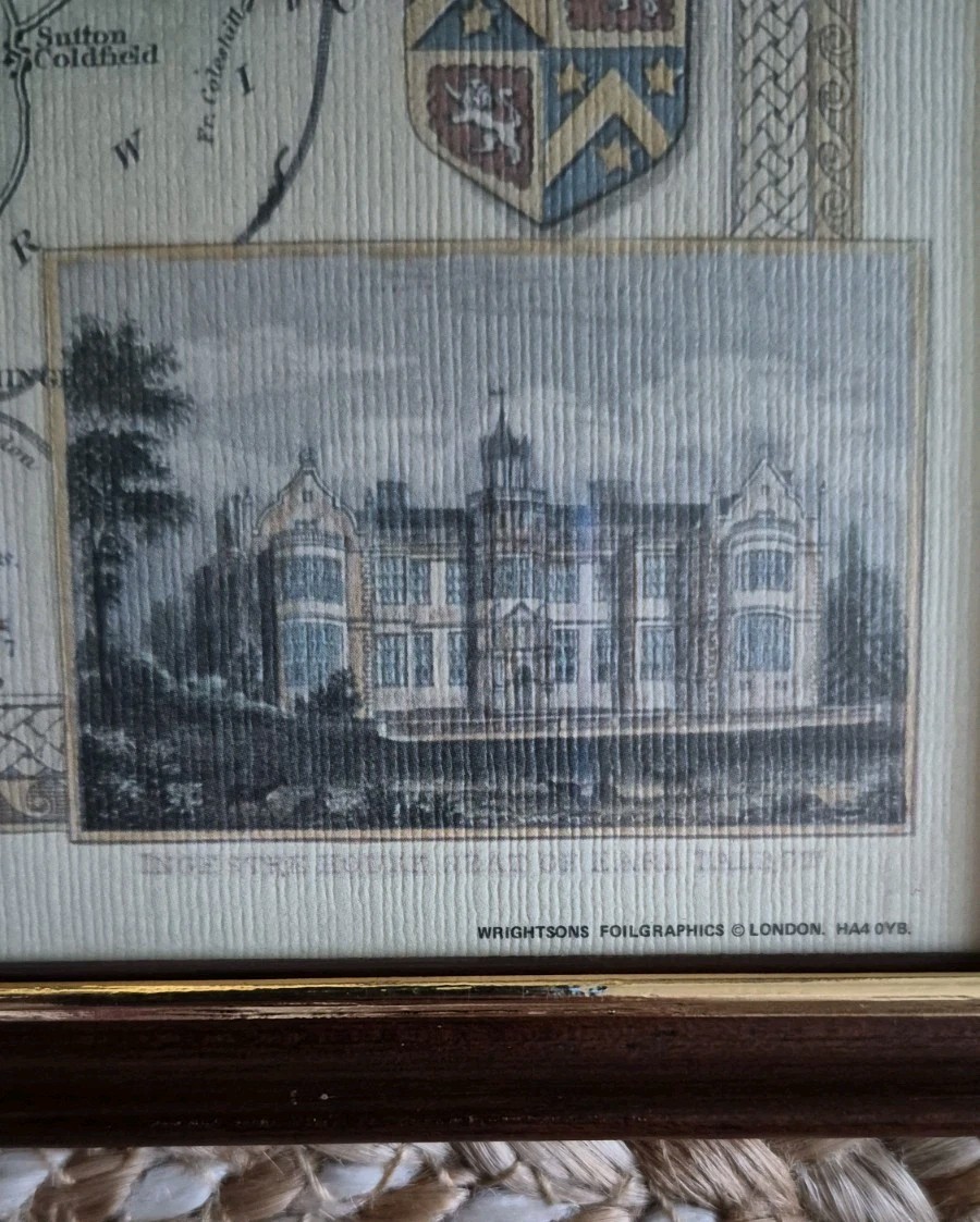
| Cartographer/Publisher | Wrightsons Foilgraphics |
| City | Staffordshire |
| Country/Region | England |
| County | Staffordshire |
| Country of Origin | United Kingdom |
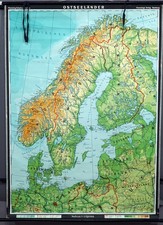
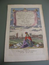
Description: Framed antique-style Staffordshire map print featuring detailed county layout with decorative illustrations including Stafford Castle, Lichfield Cathedral and coats of arms. Based on classic Thomas Moule map designs. Produced by Wrightsons Foilgraphics, London. Ideal for local interest, home decor or collectors. Condition: Good used condition. Frame and print in nice overall order with light signs of age (see photos). Measurements: Height approx. 10.5in Width approx. 8.5in Care: Wipe frame clean with a dry cloth. Handle glass with care. Photos form part of the description—please check all images carefully. Fast, secure postage.