1882 LETTS MAP EASTERN UNITED STATES NORTH & SOUTH CARLOLINA POPULATION
Check the listing for details.


USD 168.12
Condition: see listing
| Location | York GB |
| Shipping | USD 19.7 · Flat |
| Seller |
printsandmaps
100% positive · 17352 feedback
|
| Listing | FixedPriceItem · Completed |
| Start time | 2024-09-02T21:44:42.000Z |
| End time | 2024-10-03T12:27:33.000Z |
| Time left | PT0S |
1882 LETTS MAP EASTERN UNITED STATES NORTH & SOUTH CARLOLINA POPULATION Specs
| Restocking Fee | No |
| Return shipping will be paid by | Seller |
| All returns accepted | Returns Accepted |
| Item must be returned within | 60 Days |
| Refund will be given as | Money Back |
| Original/Reproduction | Antique Original |
| Format | Atlas |
| Year | 1882 |
| Brand | Unbranded |
| MPN | Does not apply |
Listing details
An original antique map over 140 years old from: Letts's consular atlas - 1st editionHighly detailed with original lithographic colour Approximate size: 17 inches x 14 inches ****CONDITION**** PLEASE VIEW IMAGES TO SEE ANY HANDLING/AGE MARKS /REPAIRS/DAMAGE/EXTENT OF MARGINS etc Please message with any questions regarding this item An original antique map over 140 years old from: Letts's consular atlas - 1st edition Highly detailed with original lithographic colour Approximate size: 17 inches x 14 inches ****CONDITION**** PLEASE VIEW IMAGES TO SEE ANY HANDLING/AGE MARKS /REPAIRS/DAMAGE/EXTENT OF MARGINS etc Please message with any questions regarding this item
Related items

AAA The British Isles & Ireland Map 1980
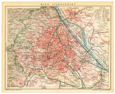
WIEN VIENNA Vintage Original map dated 1907 city plan AUSTRIA AUSTRIA-HUNGARY

BRECKNOCK - c1891 Original Antique County Map Wales Builth Crickhowl Weller
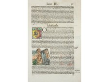
Schaffhausen Rhine Falls Baden Baths Woodcut 1550 – Münster Cosmographia Latin

Antique Matthaeus Merian Copperplate Engraving Monasterium Münster Germany
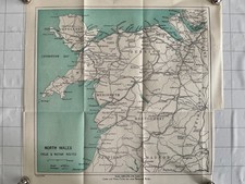
1926 Original Antique County Map Wales

Admiralty Chart 2566 - Tees & Hartlepool Bays - 1983 Middlesbrough Durham Yorksh

KINGDOM OF SAXONY - Antique 16 x 11 Inch Map By The Times From 1895

Vintage Normandy Map Operation Cobra Breakthrough German Lines Saint Lo WWII

ORDNANCE SURVEY OF MINGINISH ISLE OF SKYE DATED 1910 VG

1906 map ~ THE SARACEN EMPIRE about A.D. 750
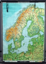
Baltic Countries Rollable Vintage Map Scandinavia WallChart